Driving to the Arctic Ocean
Calgary to Tuktoyaktuk and back: the Alaska Highway, the full Dempster, two river ferries, and a dive in the Arctic Ocean.
It's in my own country. I can drive to it.
“Imagine a single vast country where wildlife finds a haven from the ever-expanding domain of civilization. Imagine a sky where the sun shines not for a day, but for an entire season, and where the long winter night is emblazoned by swirling northern lights. Imagine a winter so cold that ground water is permanently frozen, yet so dry that glaciers never dominated during the ice ages. Imagine an intense summer when plants can grow before your very eyes, fueled by the constant light.”
I’ve had this goal since my second trip to Antarctica in 2017, when I crossed the Antarctic Circle and completed a dive and landing within the Circle. That was an exciting day on the ship, and fellow passengers from many parts of the world wanted to book a similar trip to do the same with the Arctic Circle. I said to them that the Arctic Circle is in my own country and I can drive to it. Maybe that de-romanticized the idea for them, but it sparked a new adventure in me.
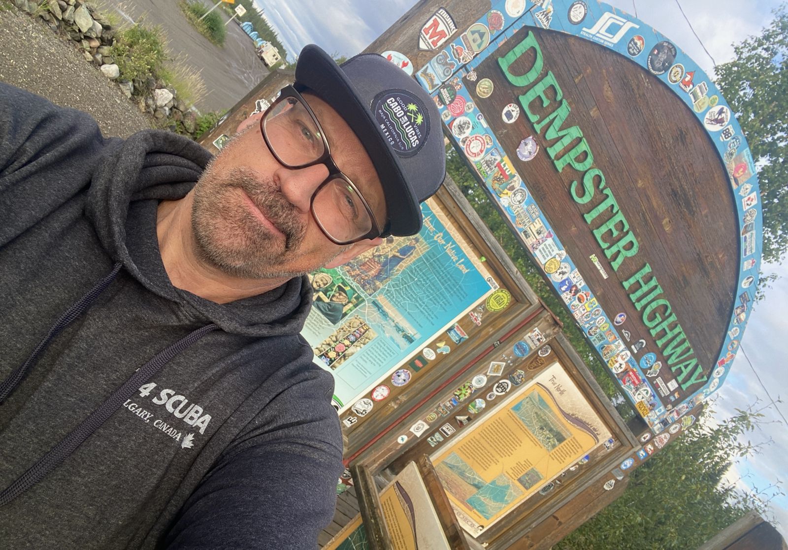
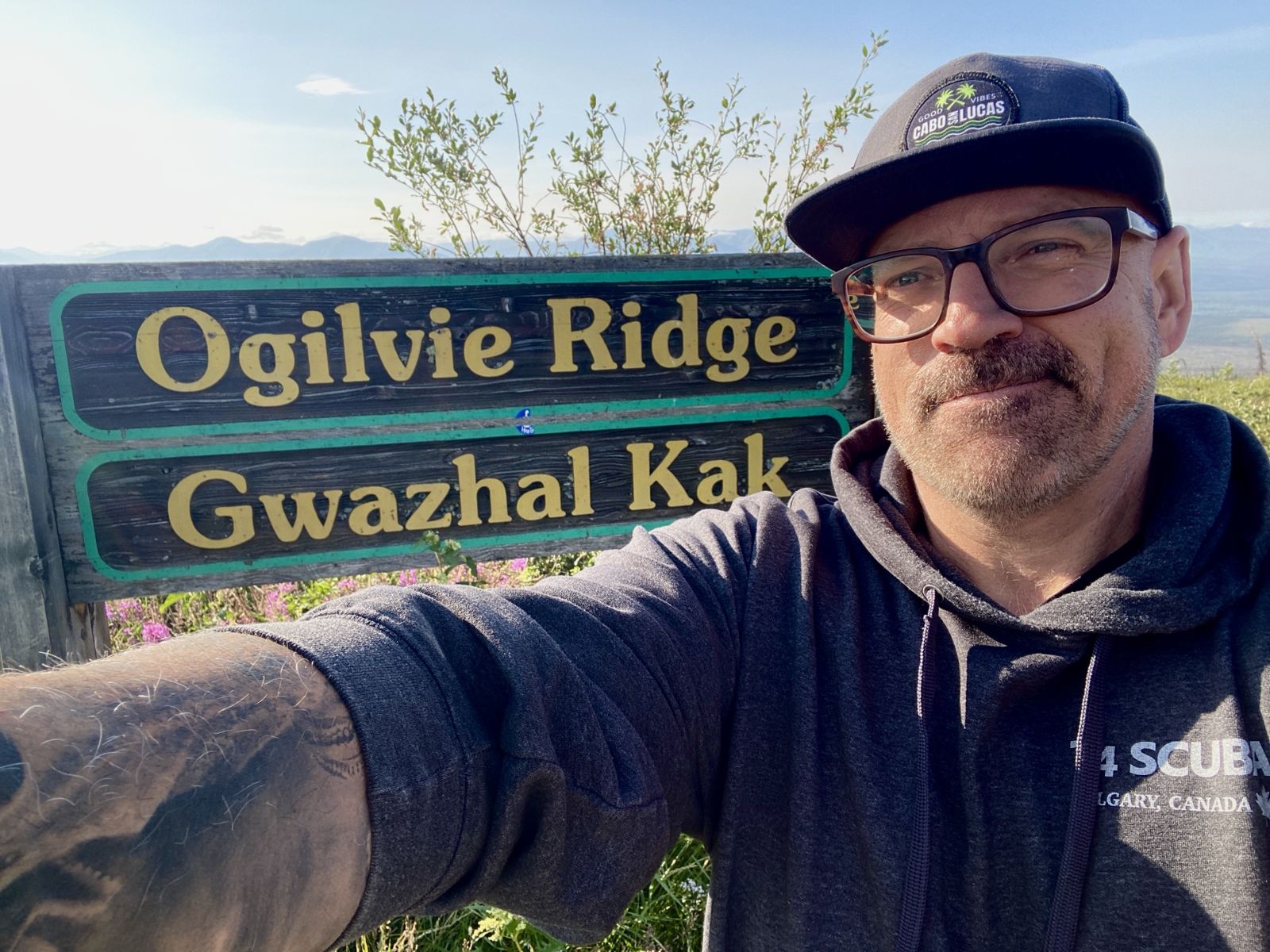
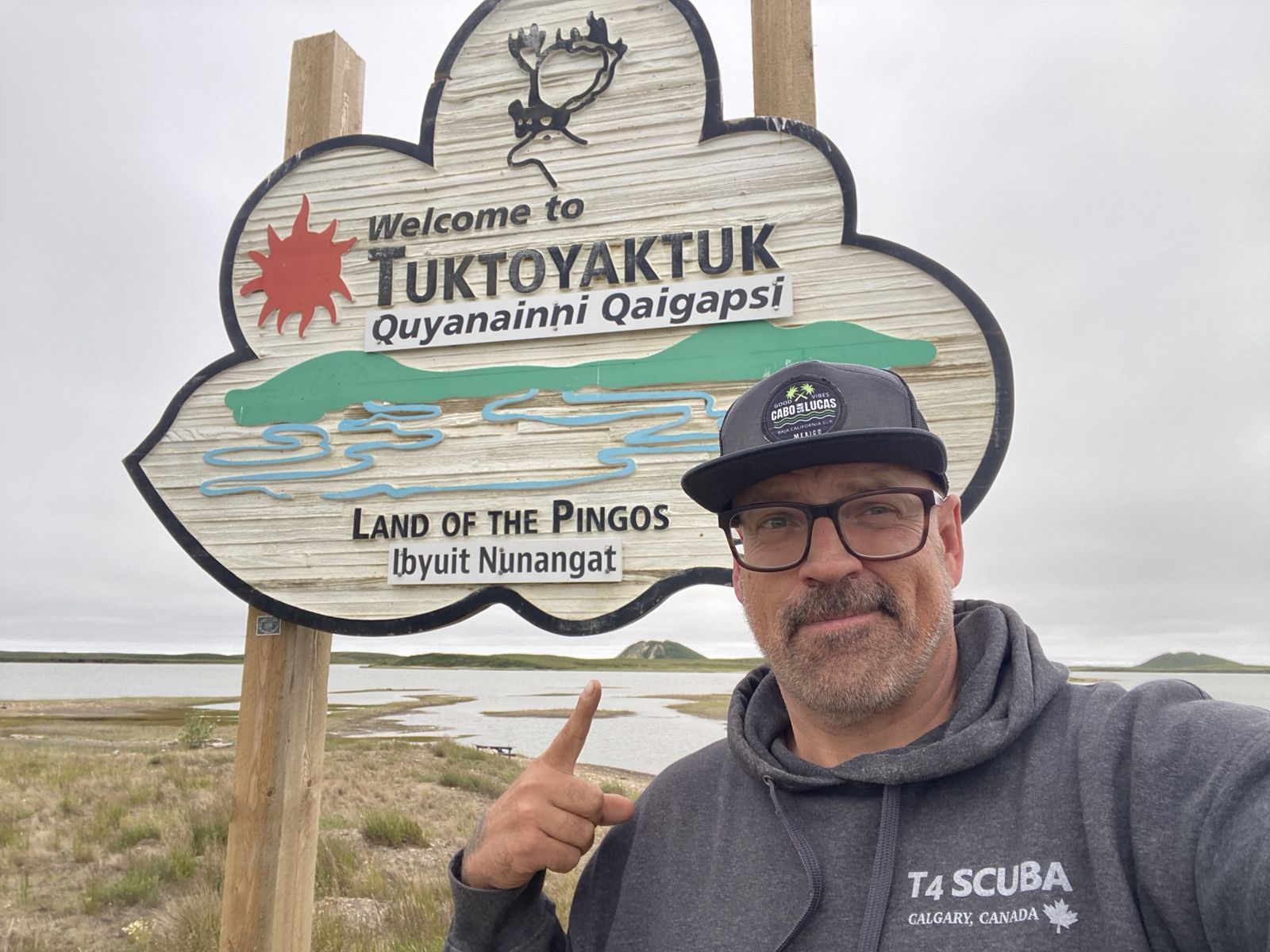
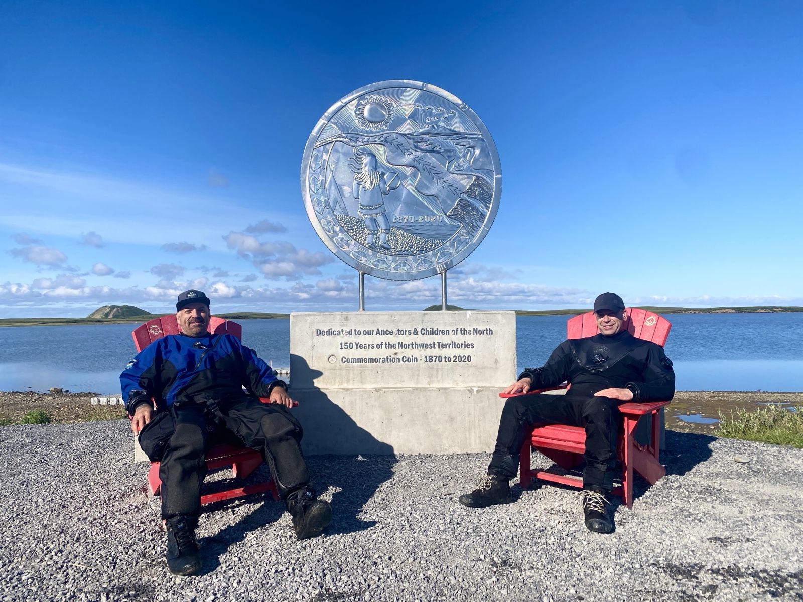
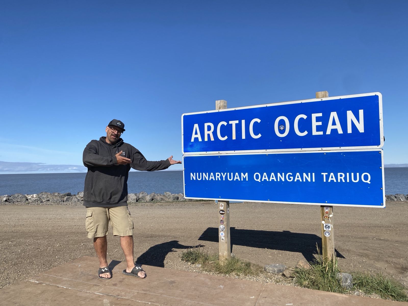
The Dempster Highway from Dawson City to Inuvik was constructed for oil and gas exploration starting in 1959 and was completed in 1979. The highway follows a route used by the Gwich’in people for generations. The final stretch of road from Inuvik to Tuktoyaktuk officially opened in 2017, making this Canada’s only road to the Arctic Ocean. In planning the road trip, the objective was to go to Tuktoyaktuk (meaning “resembling a caribou”): cross the Arctic Circle, see the Arctic Ocean, and then dive it!
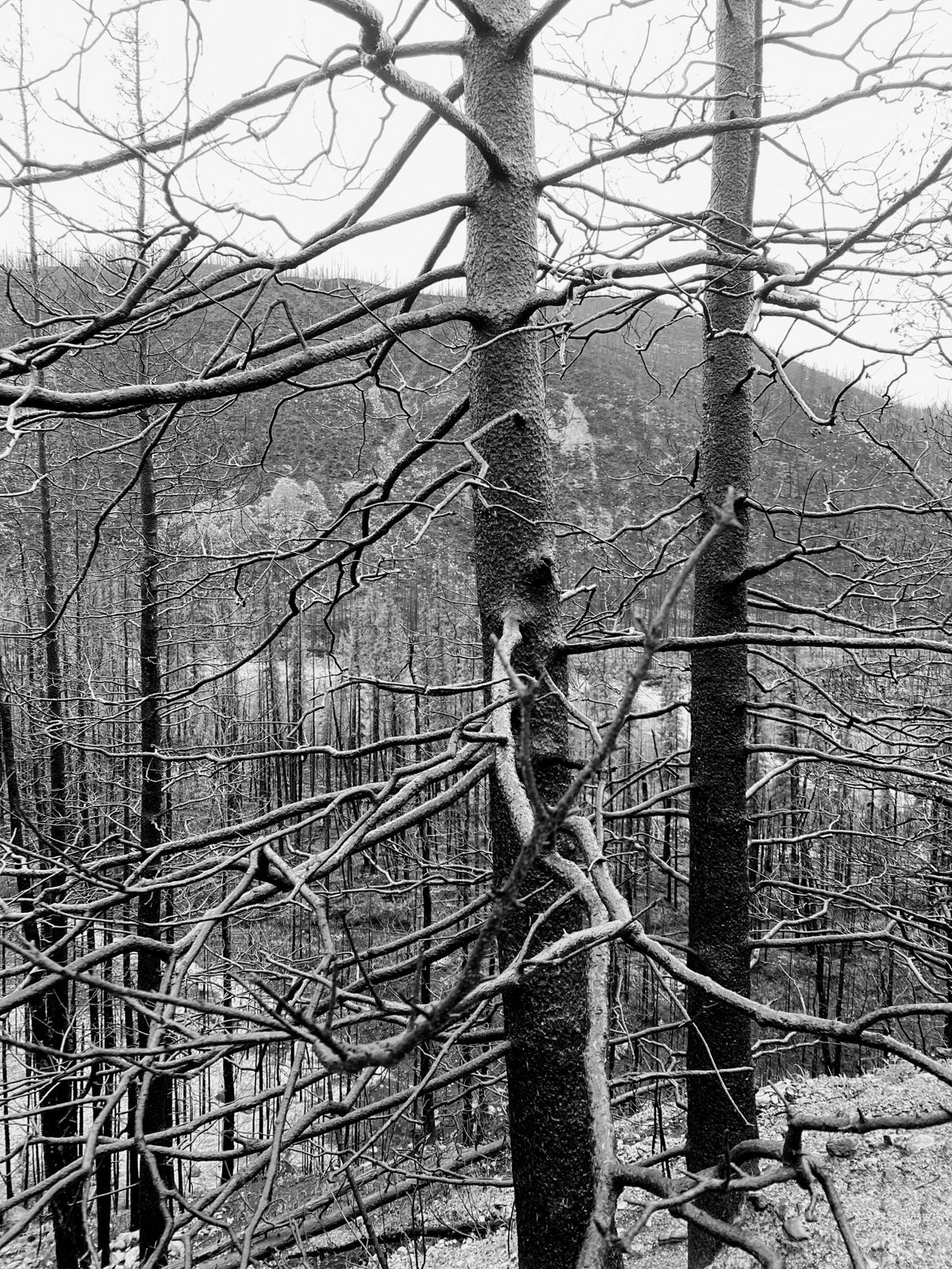
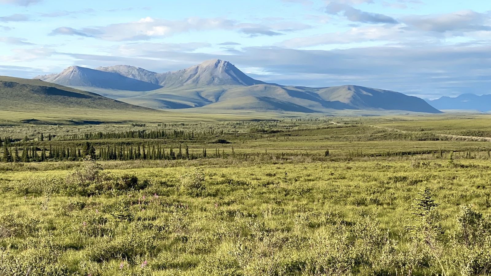
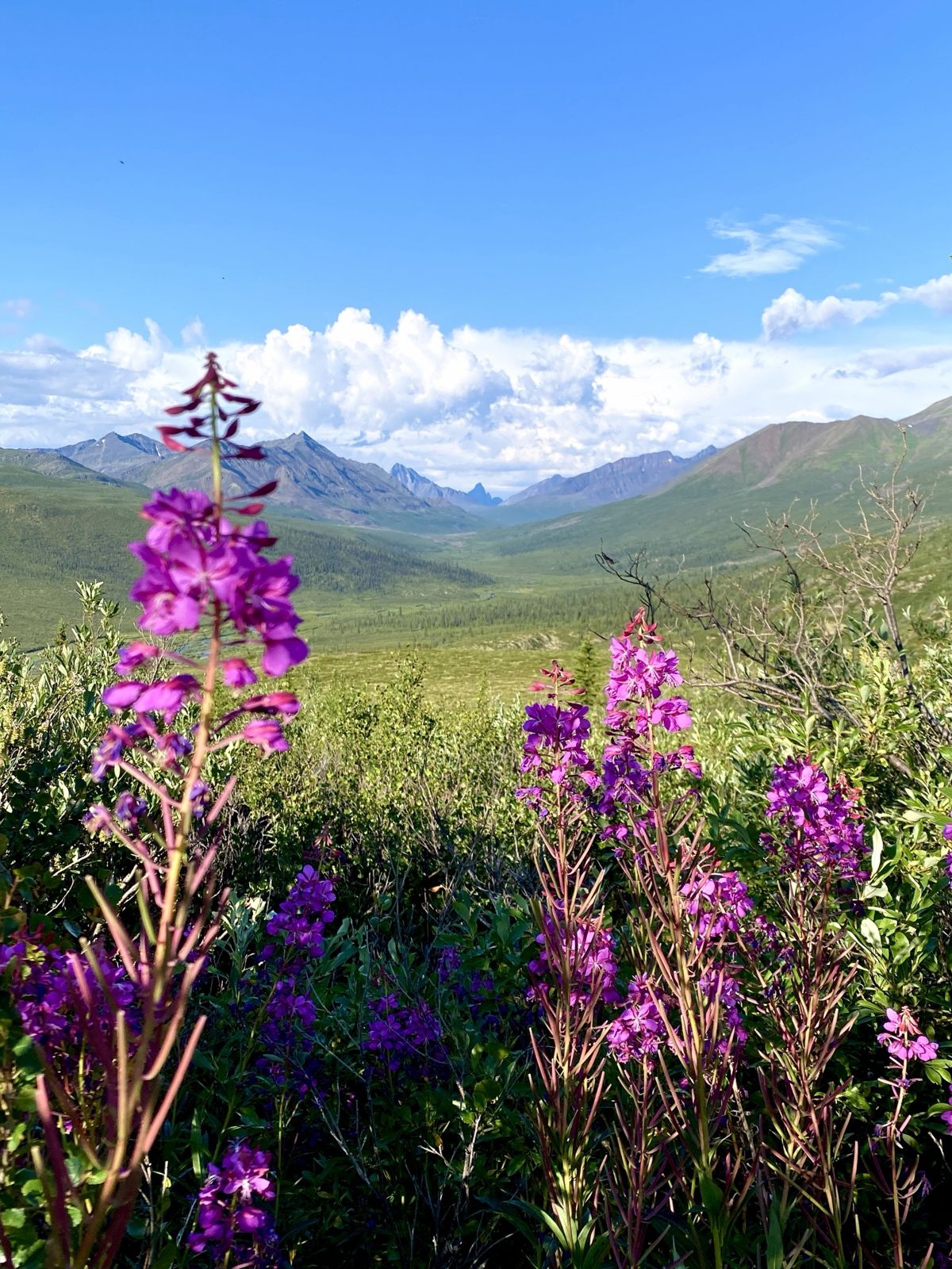
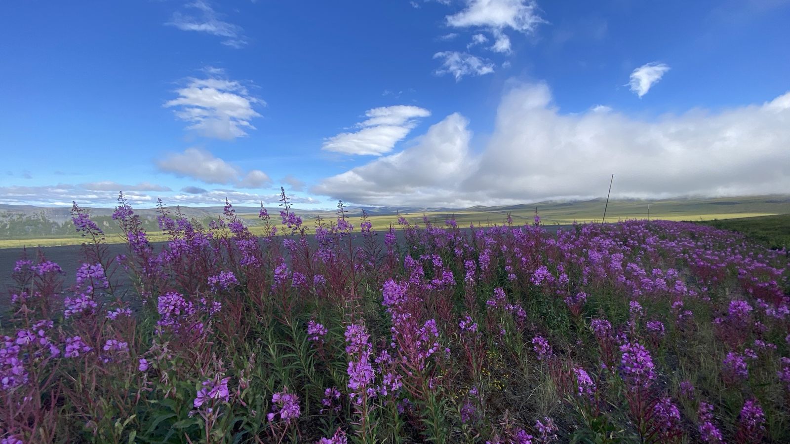
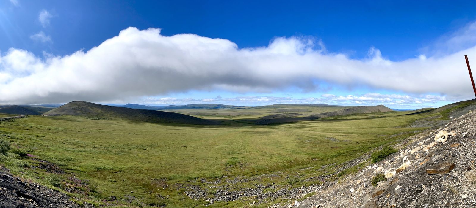
A few things came together to make the trip so epic: the scenery was beyond spectacular, the weather was near perfect, and there were no mechanical or environmental issues. My biggest fear was the wildfires, which started earlier in the season and closed roads. I was also worried about the extremely remote 1,760 km of gravel road, but put plans in place to mitigate risk on that front. Fortunately, the plans were never needed, and they seem like overkill when not used. But it’s better to have something and not need it than to need it and not have it.
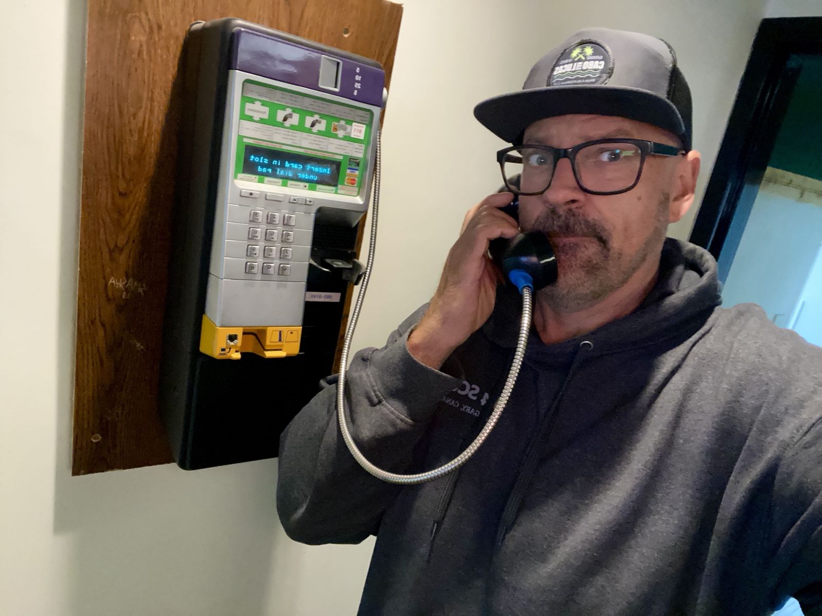
Most importantly, my travel buddy Sean, who answered my Facebook call for a travel companion, understood the assignment. He was up for the adventure of a general plan but no set itinerary: never knowing where we would sleep (including three nights in my truck and one night in a sketchy roadside motel), and never knowing where we would eat, though we had provisions for roadside camping meals. I never had a rigid plan because I never knew how far I would or could make it each day. I feel that worked to our benefit, since we could make decisions in the moment and weren’t stuck on some plan that “Past Alan” made up.
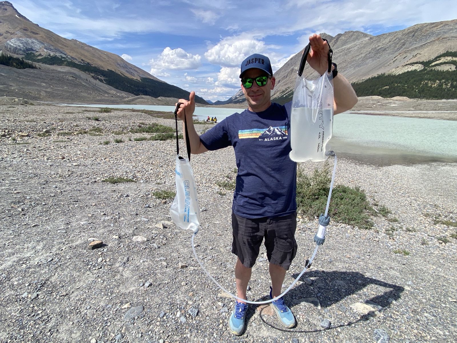
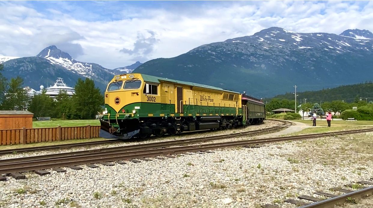
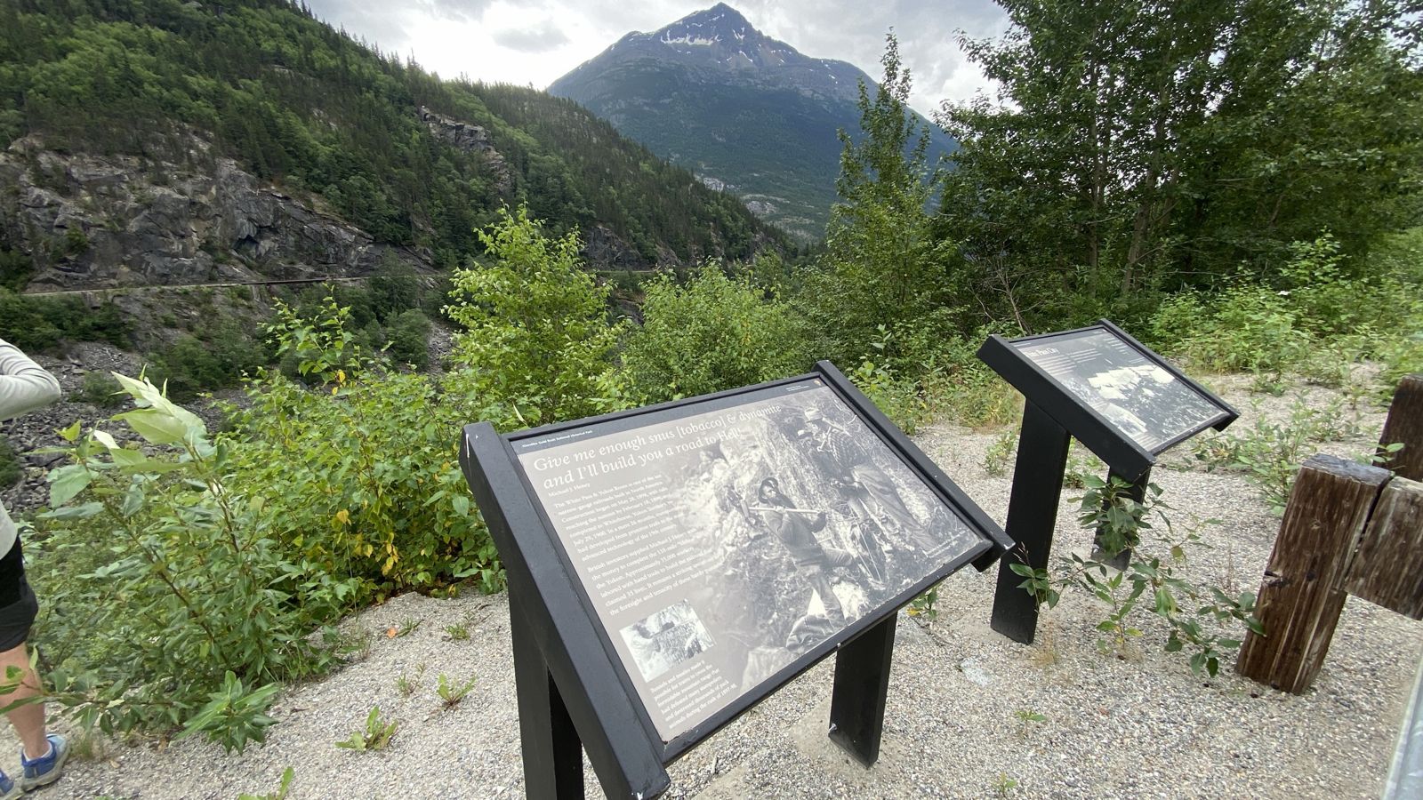
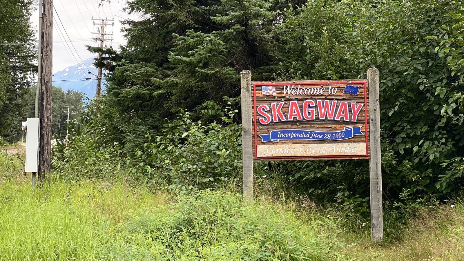
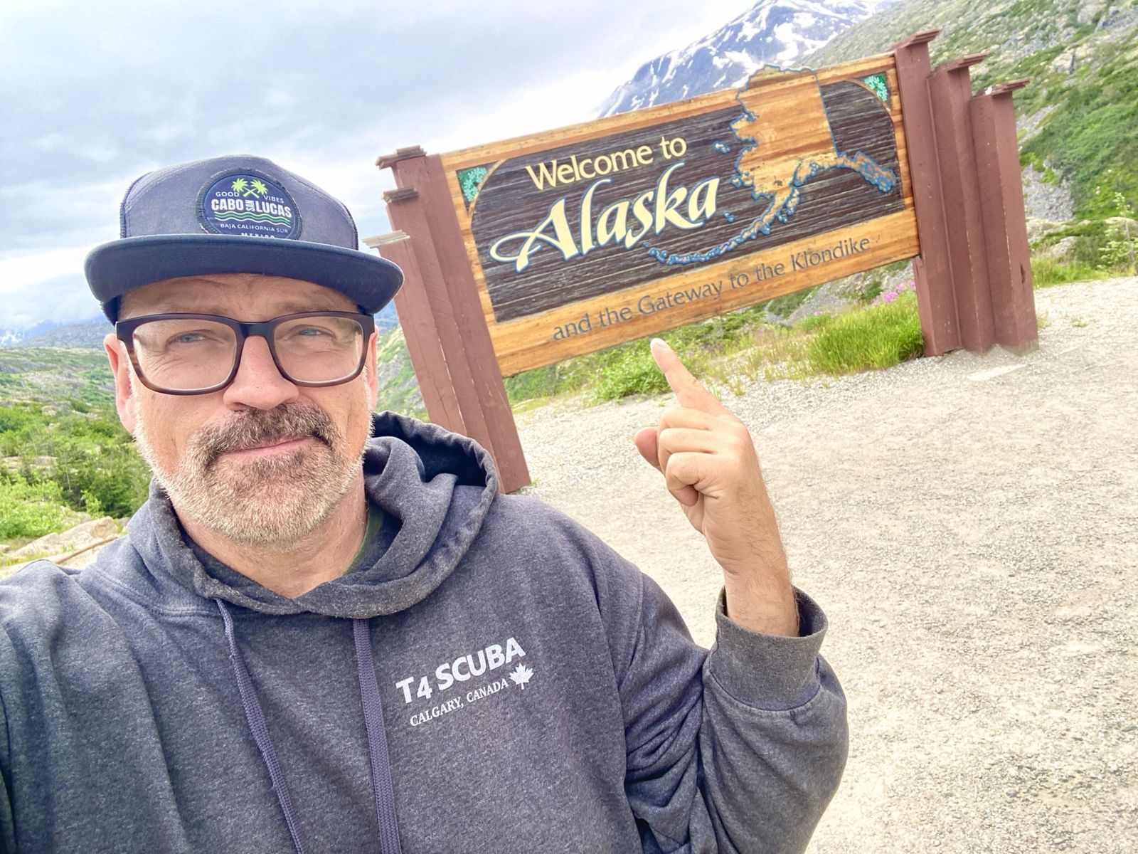
Whenever we were on the move, we had everything with us in case of a fire, a washout or a landslide. Nothing was ever left behind for us to come back to later, in case we couldn’t make it back. I even read about a landslide on the highway to Skagway that kept the only road in and out closed for eight days! We kept putting in long days on the road and were checking things off the list with fist bumps and enthusiasm. We also added a side trip to Skagway for me, and we went down the Icefields Parkway for my travel buddy.
Yeah, there are things that we missed, like the Sourtoe Cocktail in Dawson, because the place didn’t open until the evening on the day of our visit. But I will be back for that. I might have missed the 24-hour sun, but I was there for Tuk’s third sunset after the summer solstice, when the sun set at 2:00 am and rose at 3:57 am. That light sure messes with you when you are used to the darkness of night!
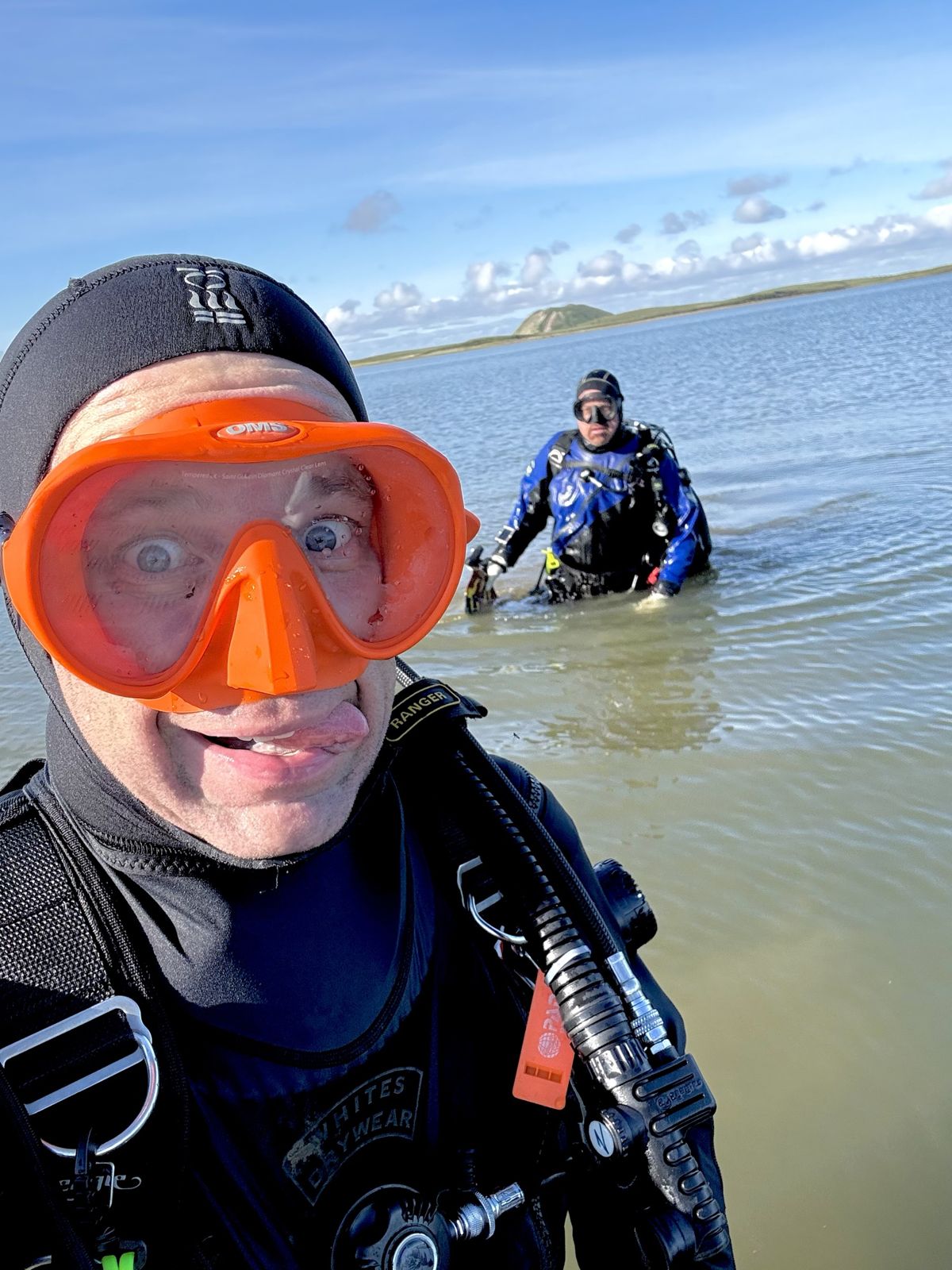
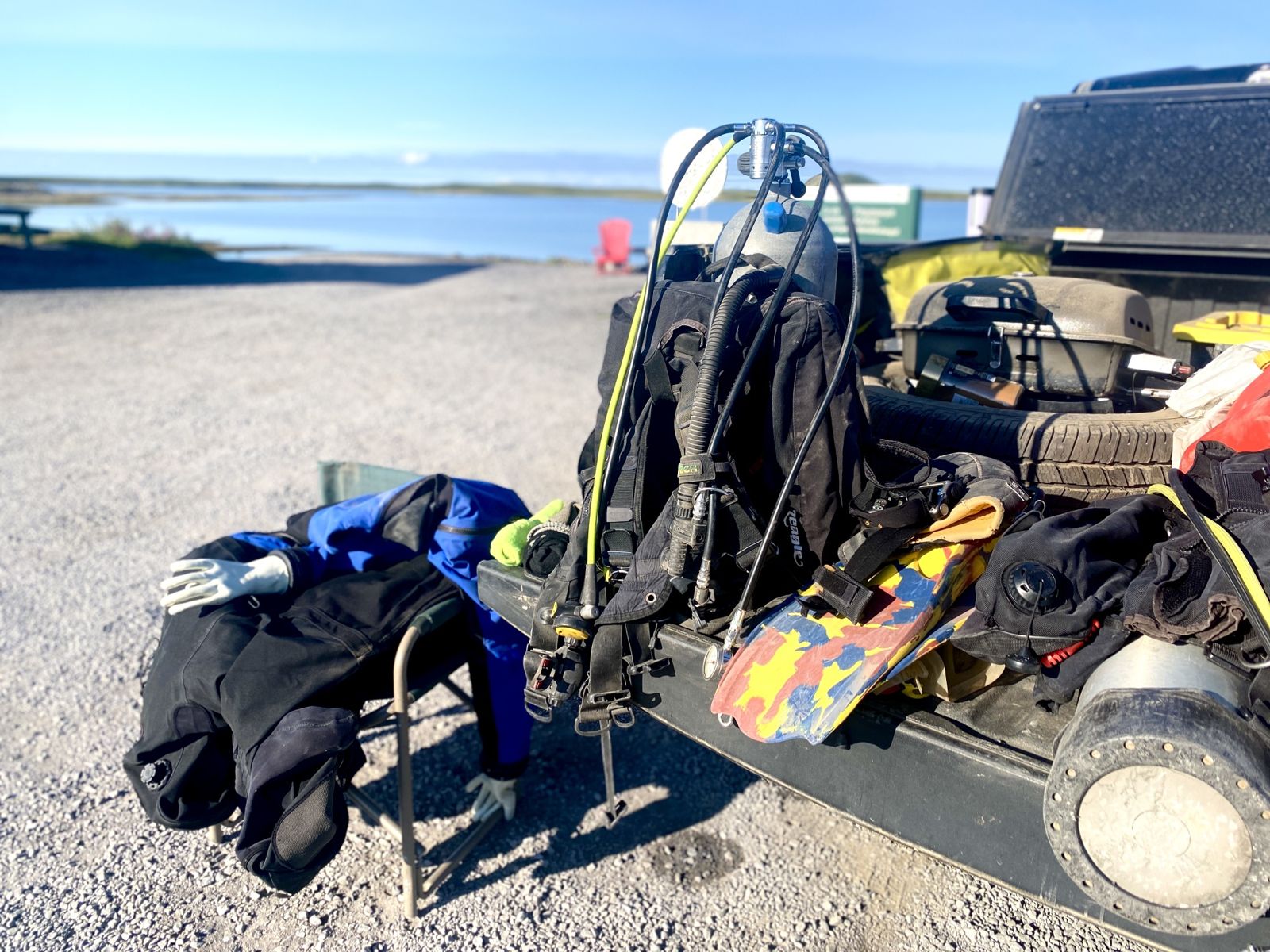
Officially a “bipolar diver”
Including becoming a “bipolar diver”, this road trip and visit to Tuktoyaktuk completed a number of items on my list:
- Dived all five oceans
- Dived all three coasts of Canada
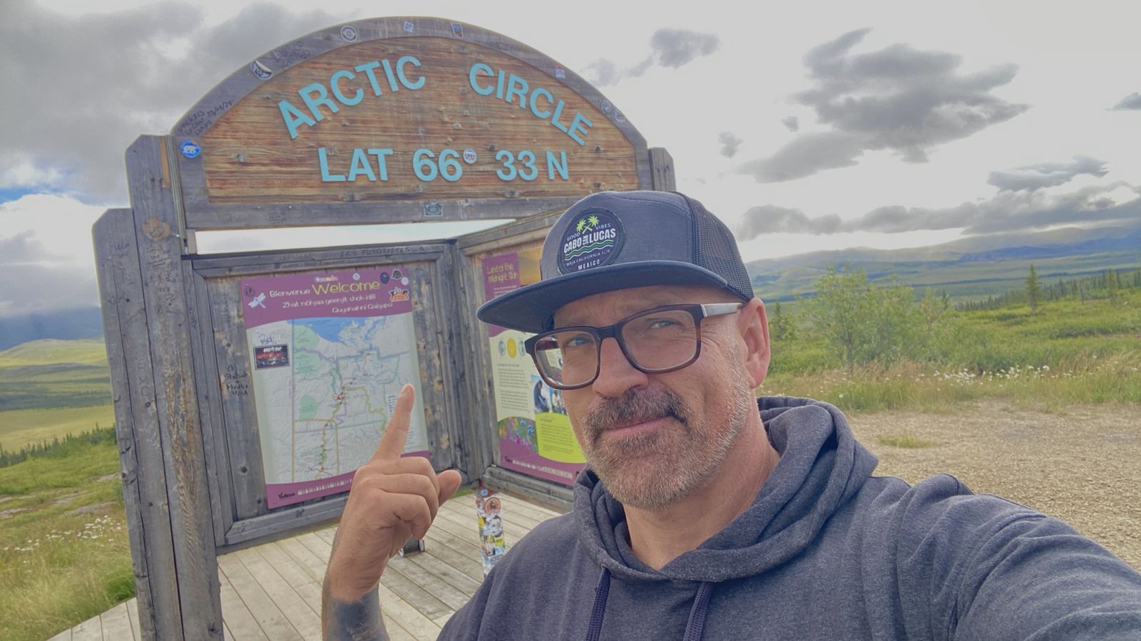
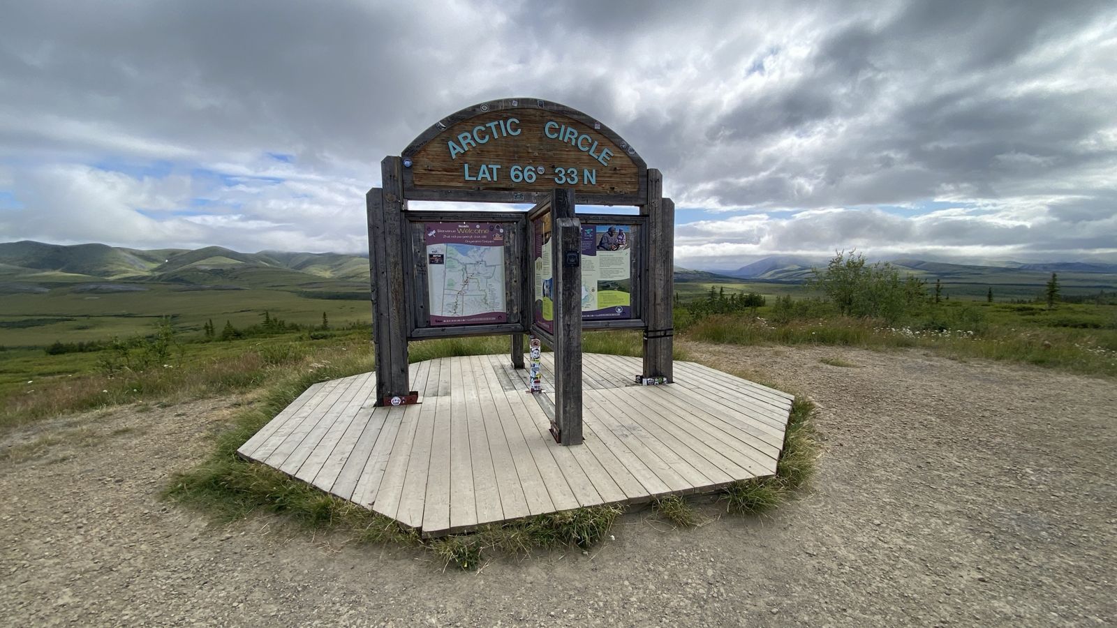
- Completed the land crossing of the Arctic Circle
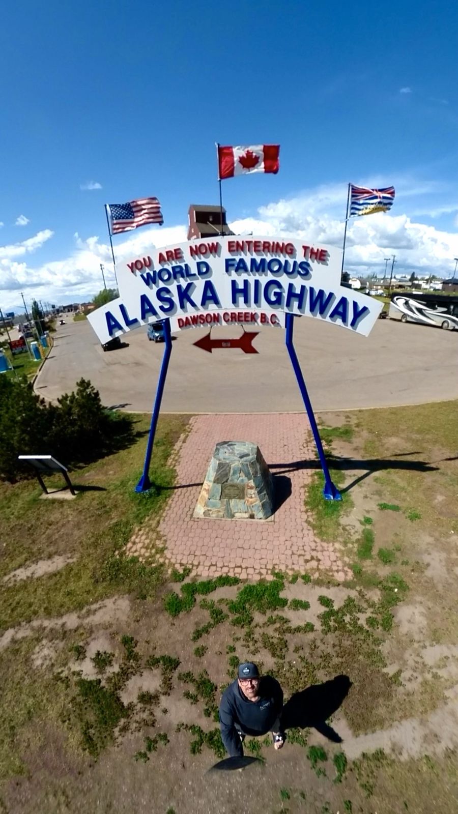
- Drove two iconic highways: just over 60% of the Alaska Highway and the entirety of the Dempster Highway
- Crossed the Mackenzie River, Canada’s longest river
- Visited Yukon and Alaska for the first time
- My first time in Grande Cache, and Sean’s first time on the Icefields Parkway
Total distance logged: 7,819 km over eight days.
Eight days, day by day
Three hard days straight up to Tuk, then back by way of Engineer Creek, Dawson City, Whitehorse, Skagway, and the Icefields Parkway home. Distances are approximate.
| Day | Route | Approx. km | Overnight |
|---|---|---|---|
| 1 | Calgary → Grande Prairie → Dawson Creek → Fort Nelson | 1,335 | Fort Nelson (hotel) |
| 2 | Fort Nelson → Watson Lake → Whitehorse → start of the Dempster | 1,455 | Dempster junction (truck) |
| 3 | Dempster → Eagle Plains → Arctic Circle → two ferries → Inuvik → Tuktoyaktuk | 880 | Tuk (truck) |
| 4 | Tuk → back down the Dempster to Engineer Creek (km 194) | 686 | Engineer Creek (truck) |
| 5 | Engineer Creek → Dawson City → Whitehorse | 770 | Whitehorse (hotel) |
| 6 | Whitehorse → Carcross → White Pass → Skagway, Alaska and back | 360 | Whitehorse (hotel) |
| 7 | Whitehorse → Watson Lake → Fort Nelson → Dawson Creek | 1,415 | Dawson Creek (hotel) |
| 8 | Dawson Creek → Grande Prairie → Grande Cache → Jasper → Icefields Parkway → Calgary | 955 | Home |
Notes from the road
The Dempster's summer window runs roughly mid-June to mid-October. July brings near 24-hour daylight, the warmest weather, and the most bugs.
The longest gap is the Dempster junction to Eagle Plains, 369 km. Card machines can go down with the internet, so carry cash. I carried two 25 L jerry cans and never needed them.
Run good light-truck tires and carry two spares. Eagle Plains does tire repair, but not necessarily quickly. We never had a flat.
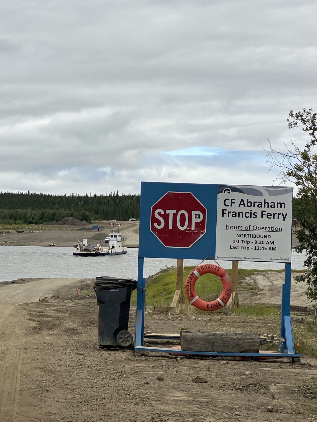
The Peel and Mackenzie River ferries are free, first come, first served. The last sailing of the day can fill up, and high water can shut them down.
Wildfires, floods and washouts can close roads. Book hotels last minute and keep everything with you while you move.
There's little to no cell coverage between Dawson and Inuvik. Bring a satellite messenger. And a passport if you add Skagway.
From the road
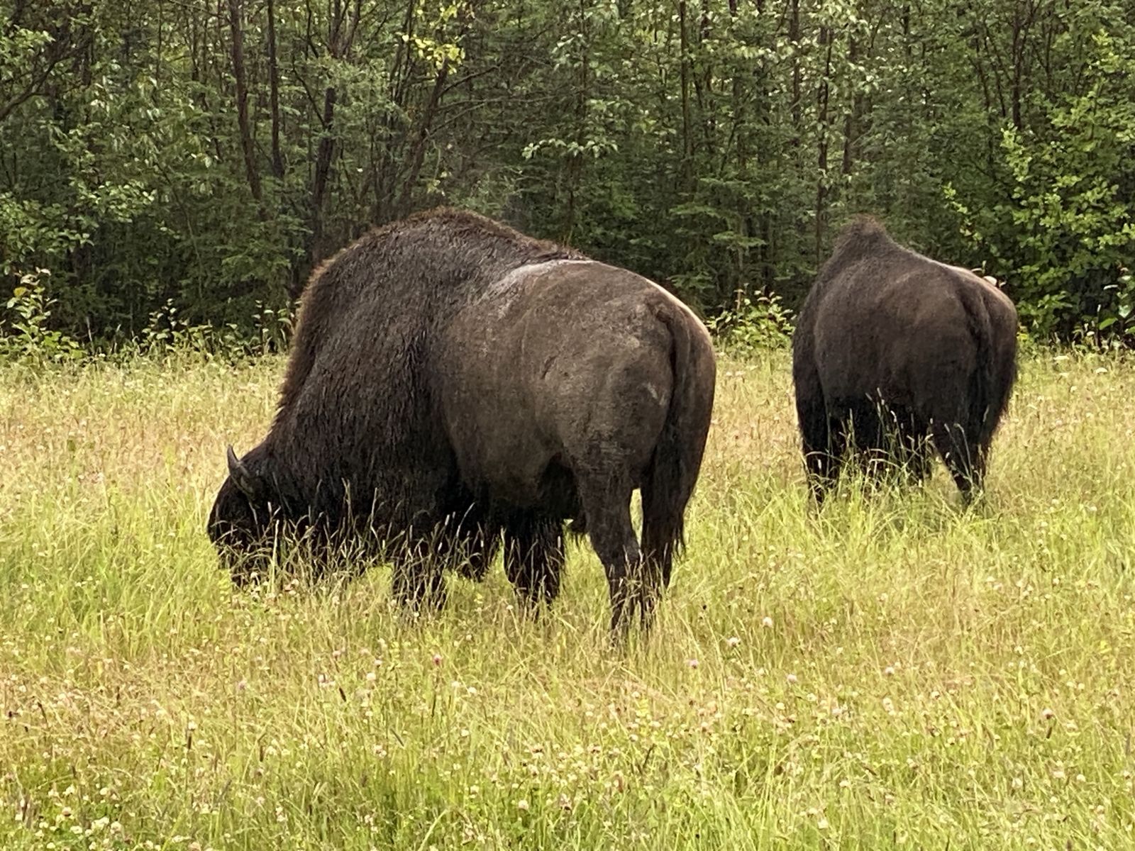
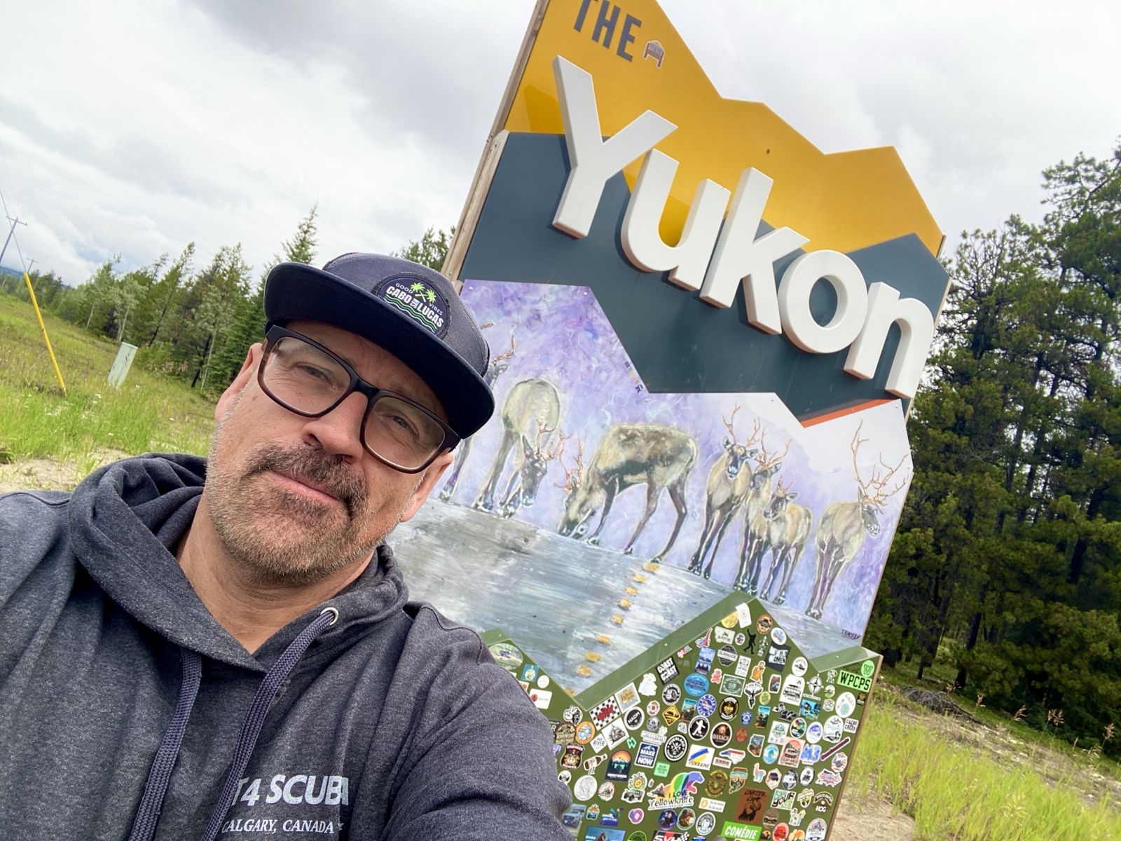
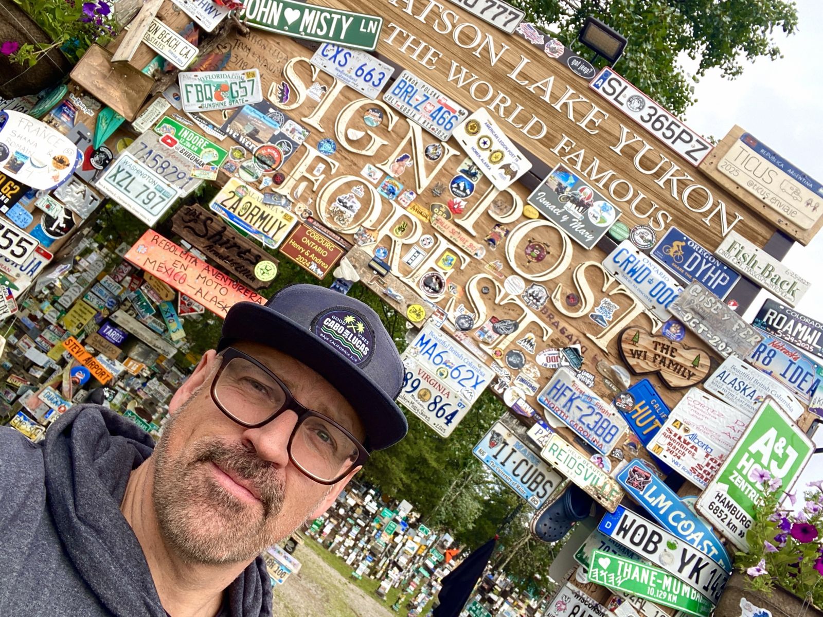
The Alaska Highway
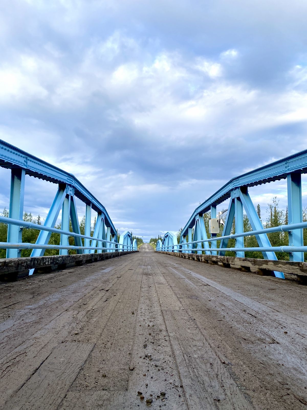
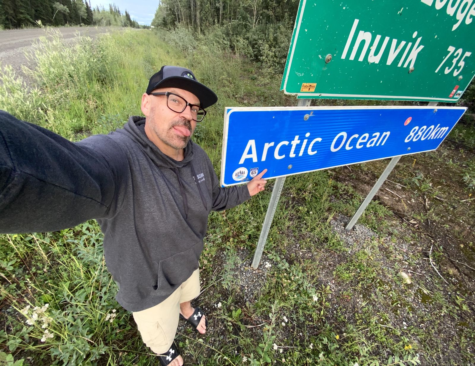
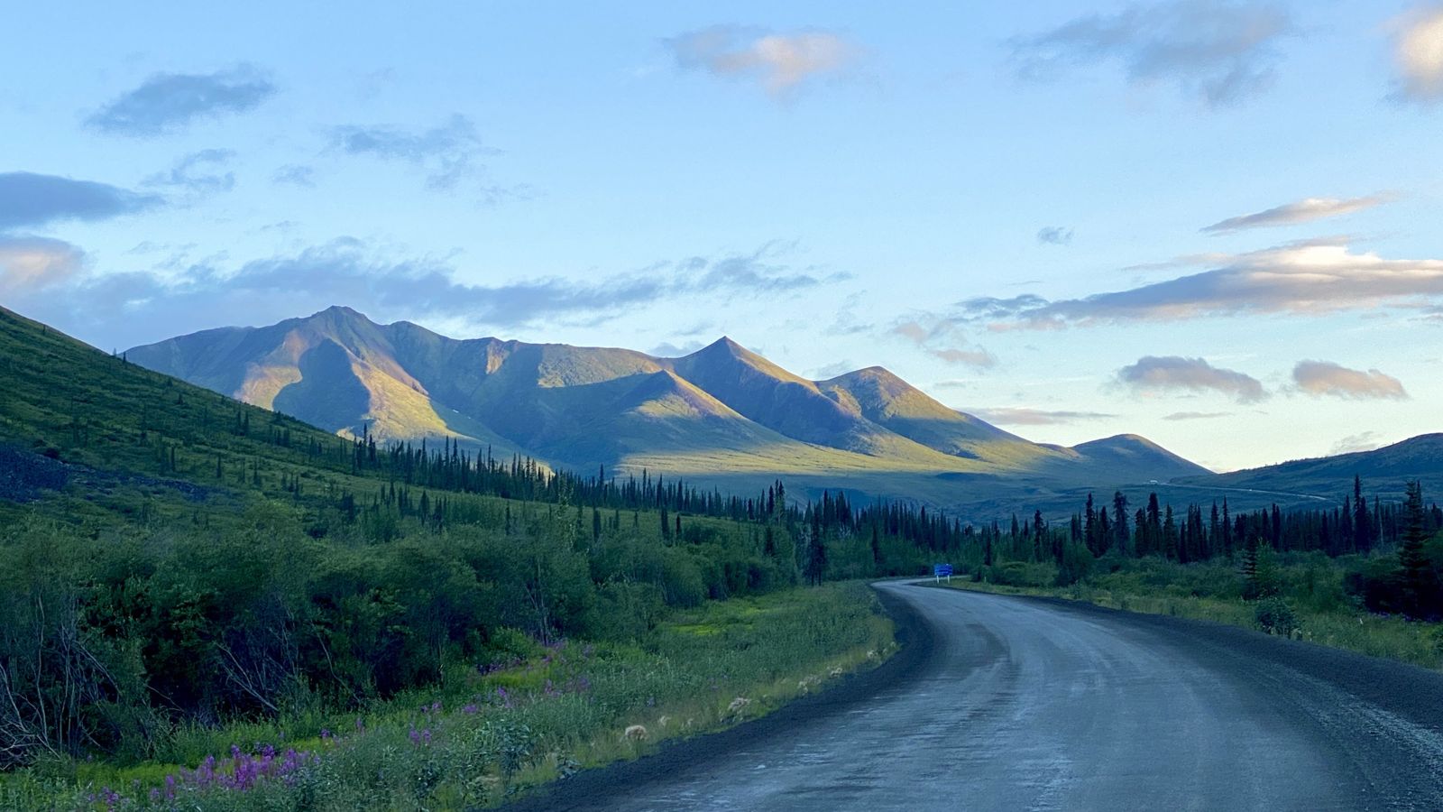
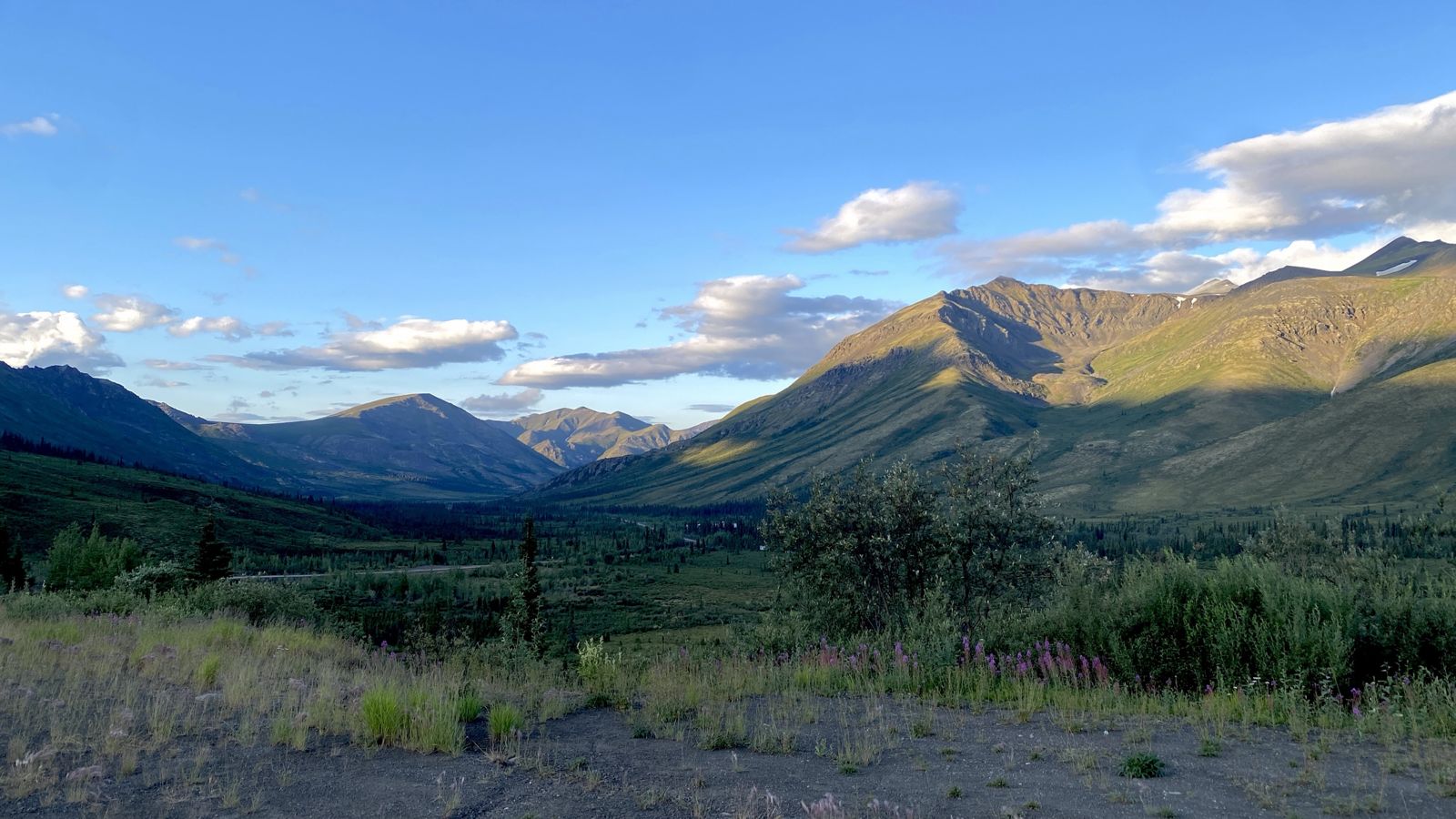
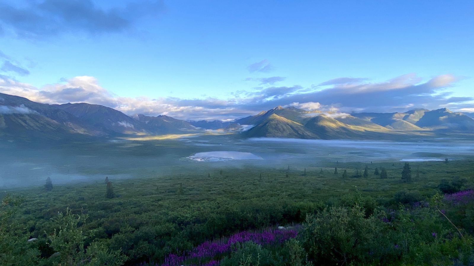
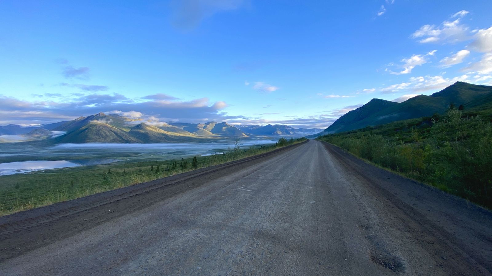
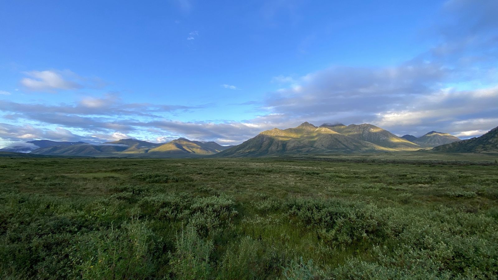
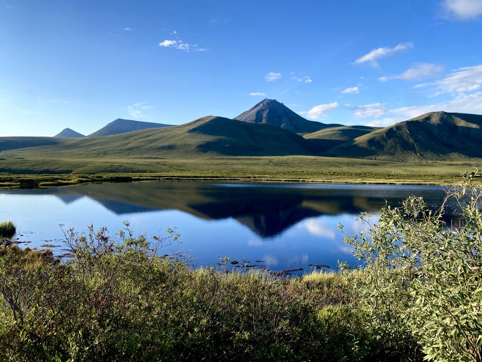
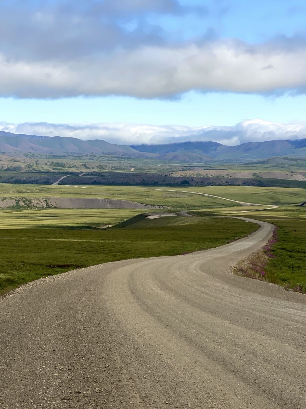
The Dempster Highway
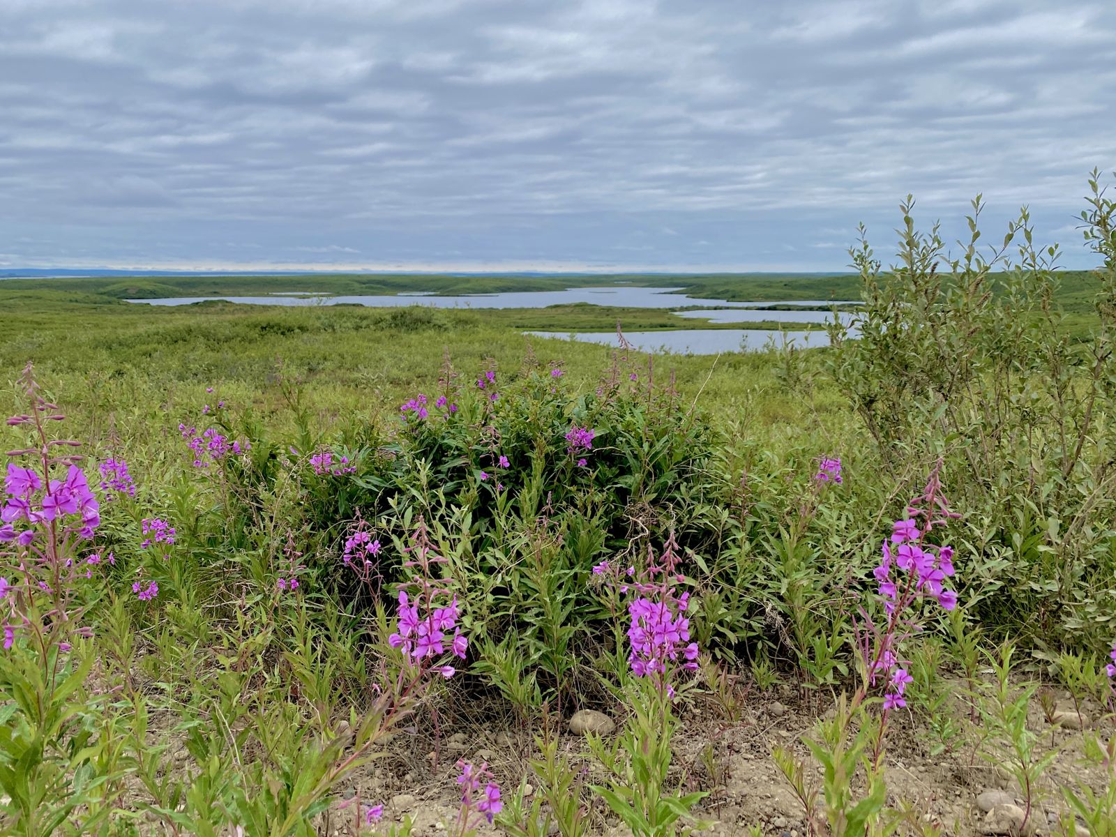
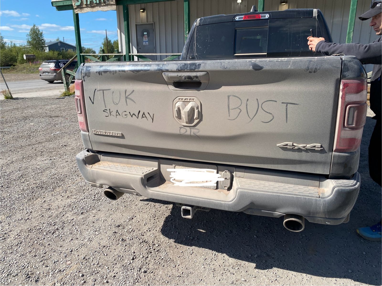
Tuktoyaktuk and the Arctic Ocean
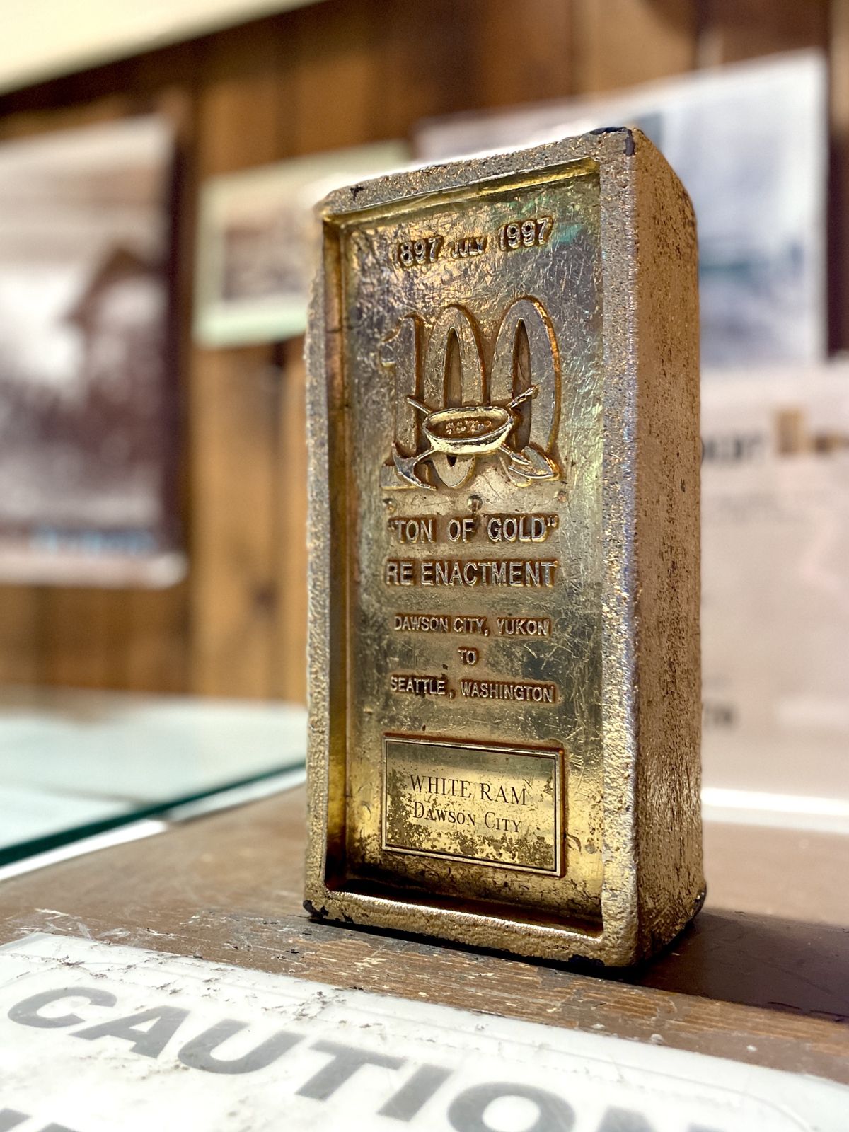
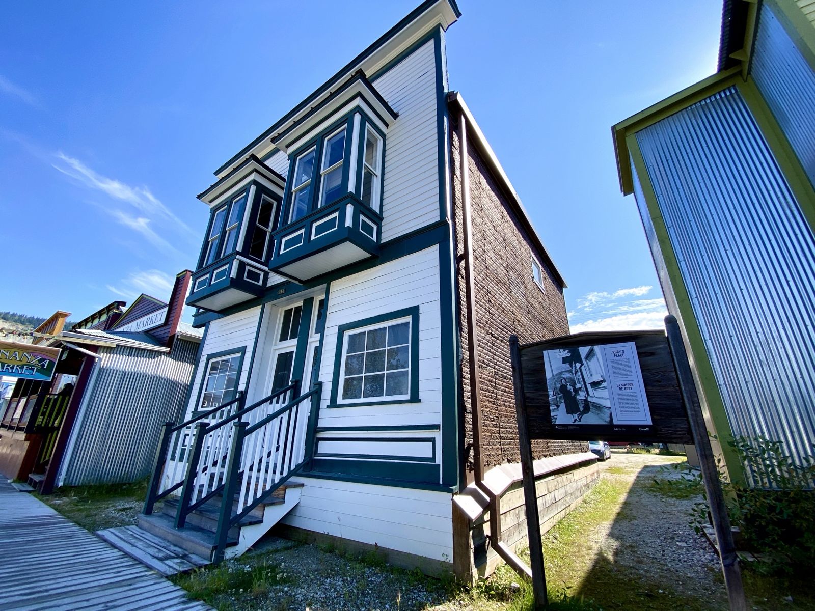
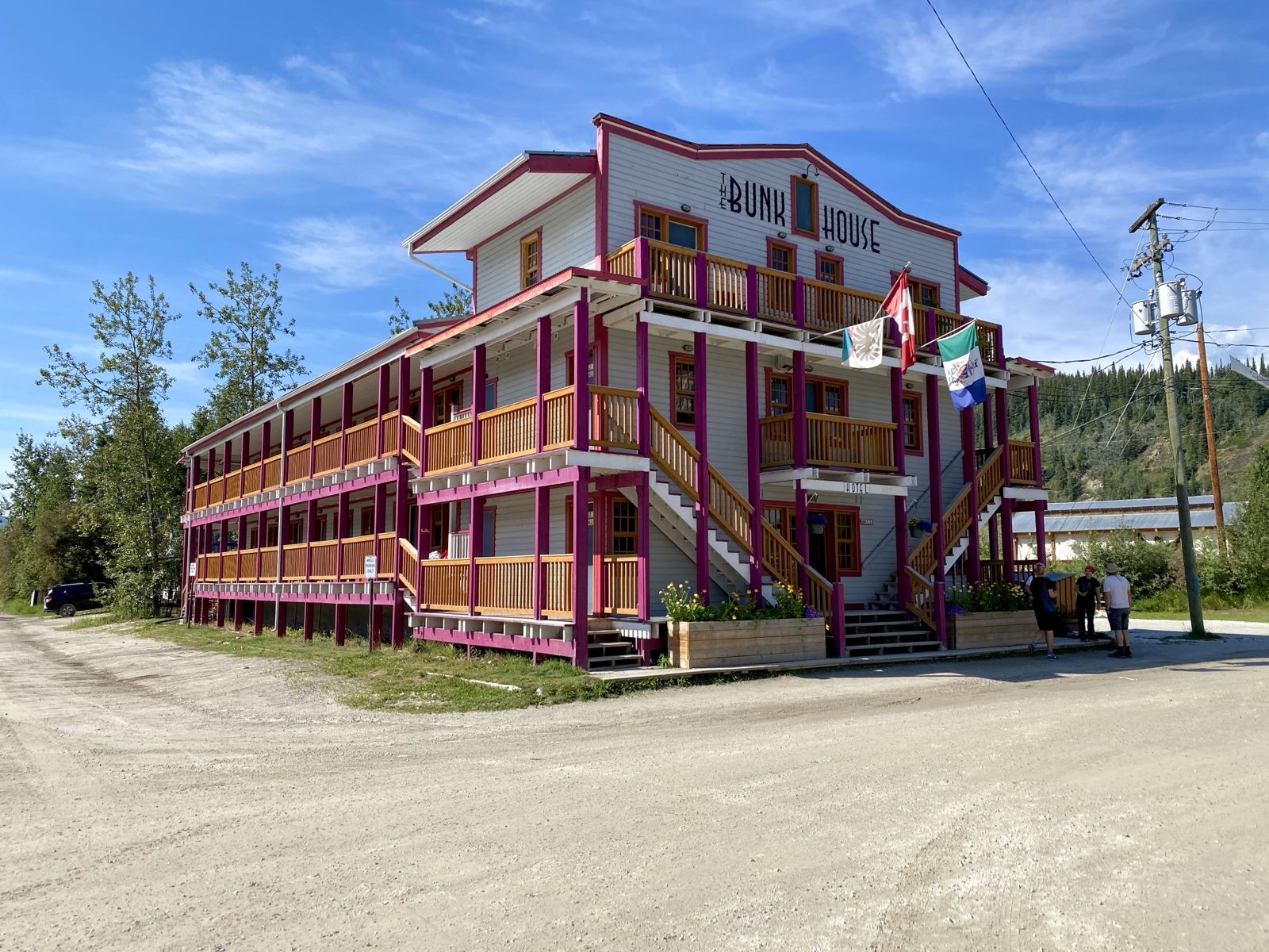
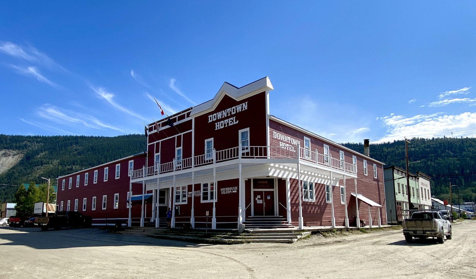
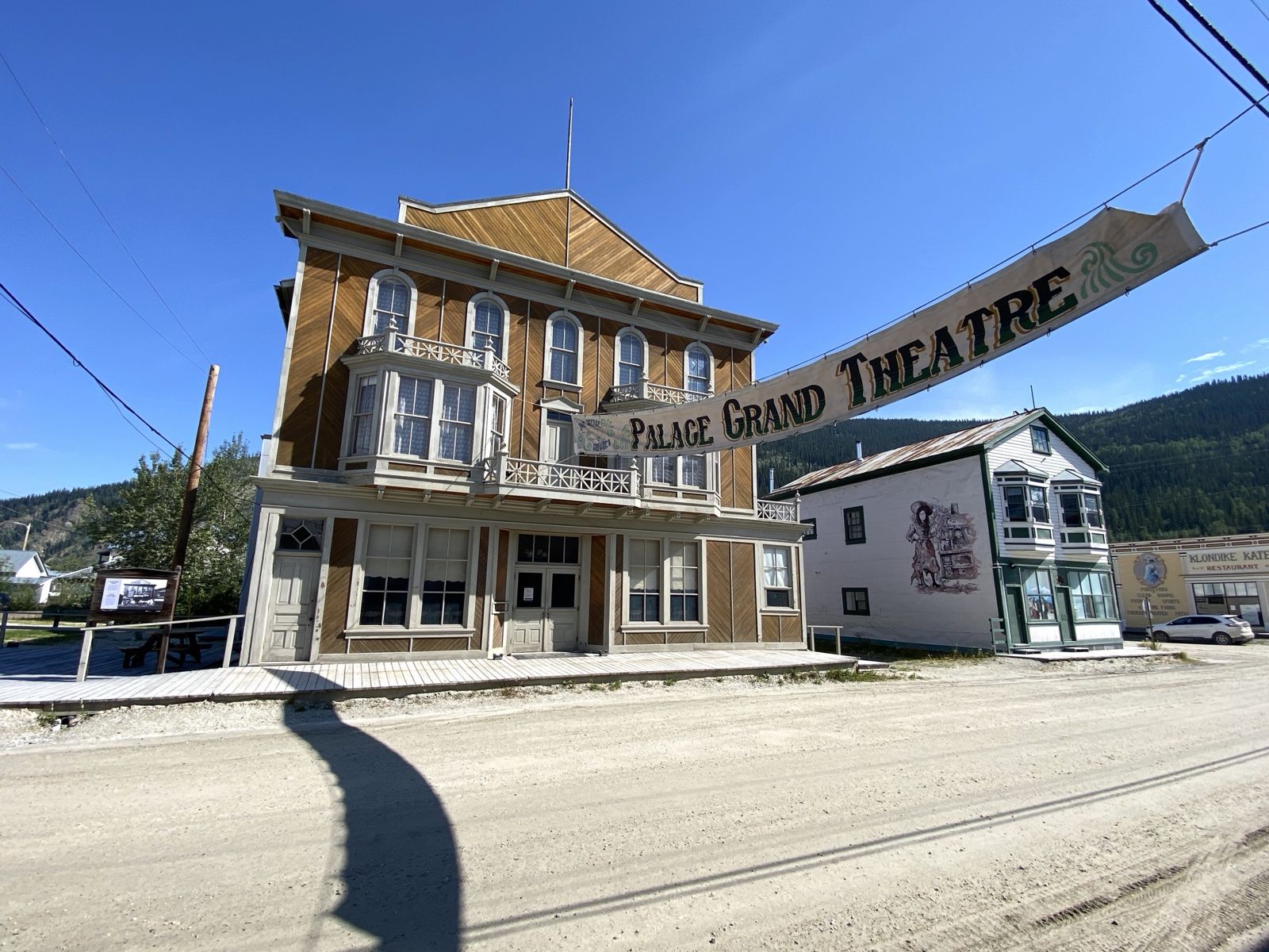
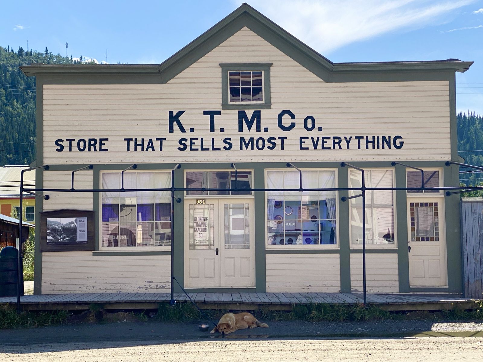
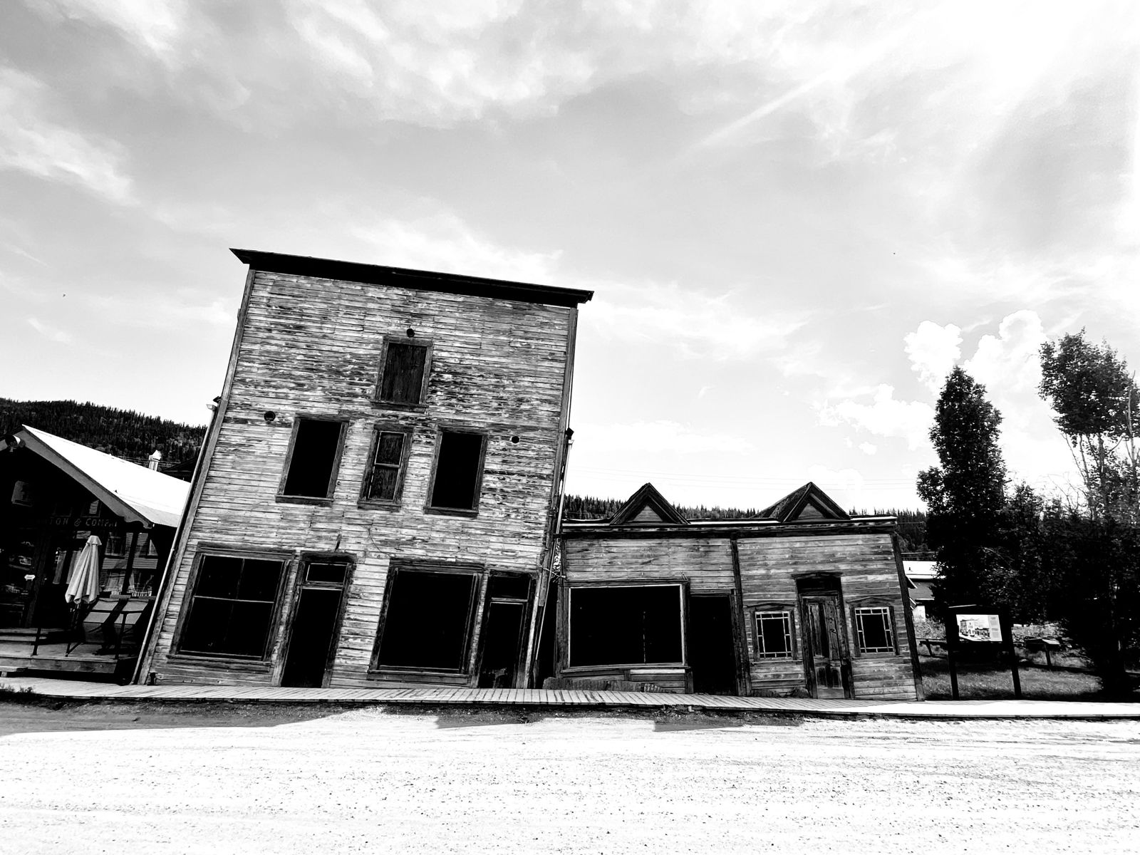
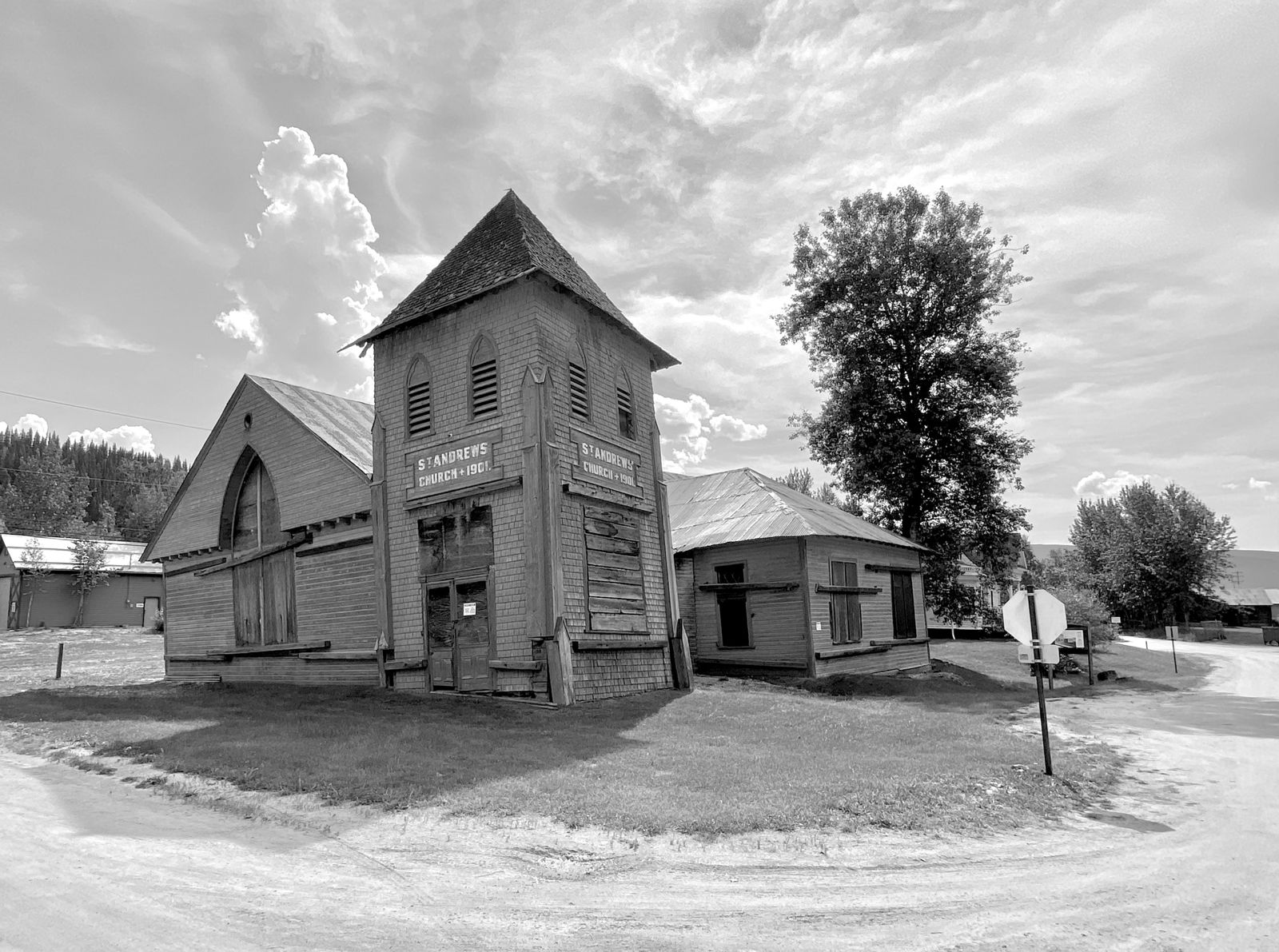
Dawson City
Skagway, Alaska
The Icefields Parkway