Bamfield
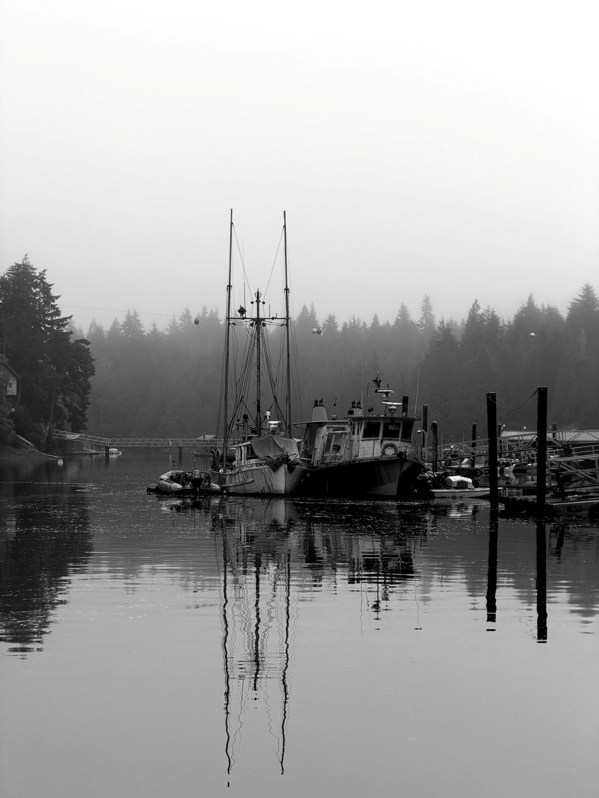
Bamfield is the best cold-water destination on Vancouver Island that I haven't driven to yet — diving in Barkley Sound, and a road trip that ends somewhere genuinely remote.
It sits at the mouth of Barkley Sound on the island's west coast, at the end of a long logging road out of Port Alberni. That road is the filter. It keeps the crowds thin and makes the village feel like an outpost, not a resort.
I've done Port Hardy on the north end. Bamfield fills the obvious gap on the west coast: Barkley Sound walls, wolf eels and octopus, and the Vanlene wreck, all from one small base.
The drive
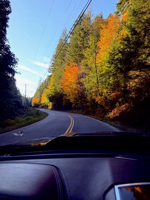
The last leg used to be the reason I never went. Since 2023, it's the reason to go now. Bamfield Main — the 76 km road from Port Alberni — was chip sealed end to end in a $49-million project led by Huu-ay-aht First Nations and the Province, finished in October 2023.
| Leg | Approx. distance | Approx. time |
|---|---|---|
| Calgary to Horseshoe Bay (Hwy 1 / Coquihalla) | 970 km | 10–11 h |
| BC Ferries to Nanaimo (Departure Bay) | — | 1 h 40 min sailing |
| Nanaimo to Port Alberni (Hwy 4, Cathedral Grove) | 80 km | 1 h 15 min |
| Port Alberni to Bamfield (Bamfield Main) | 76 km | 1.5 h at 60 km/h |
Distances and times are ballpark — realistically it's a two-day drive, same rhythm as my Port Hardy run.
What I need to keep in mind on Bamfield Main:
- It's still an active logging road, not a highway. 60 km/h, logging trucks own it, and I drive it at my own risk.
- Chip seal isn't pavement. It lasts about seven years versus 20 for asphalt, and in summer 2024 the stretch between km 0 and 26 was shedding loose gravel. My windshield has opinions about that.
- Traffic is up: 2024 counts averaged 554 vehicles a day in summer and 185 in winter. Huu-ay-aht is pushing the Province to formally redesignate the road and fund its upkeep.
- No services between Port Alberni and Bamfield. Fill the Ram in Port Alberni and make sure the spare is one I trust.
The approach is half the show anyway: Hwy 4 runs through Cathedral Grove's old-growth Douglas firs and along Cameron Lake.
The diving
Barkley Sound is two trips in one: some of BC's richest invertebrate walls and a graveyard of dozens of wrecks, all from a single harbour.
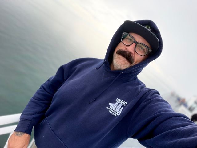
Wrecks. Barkley Sound holds up to 60 old shipwrecks, and it's the Underwater Archaeological Society of BC's current project area. Their 2026 trips out of Bamfield went after the Vanlene (1972), Thiepval (1930), Tuscan Prince (1923), Orpheus (1885), Soquel (1909) and the elusive Mascotte (1893). I've already written up the Vanlene. Time to actually put my fins on her.
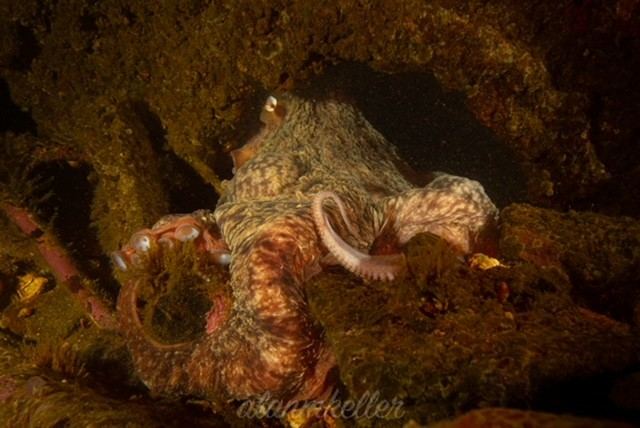
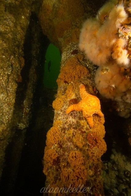
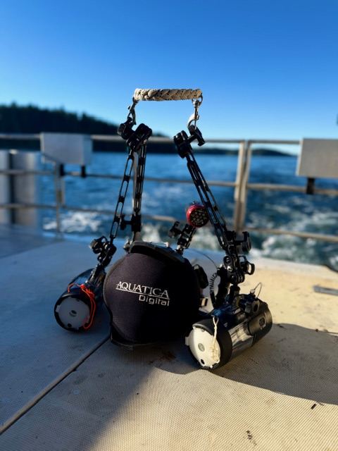
Life. The biota here is subtly different from Port Hardy or the Strait: white-spotted rose anemones, giant mussels, giant kelp and purple-ringed topsnails, with a flavour some divers compare to Northern California. Canyons carpeted in white plumose anemones at sites like Tyler Rock, plus the BC regulars I never get tired of: wolf eels, giant Pacific octopus, nudibranchs and rockfish. New shot list, basically.
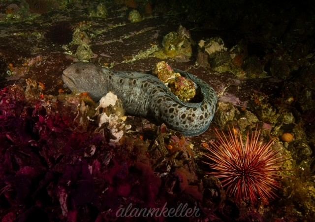
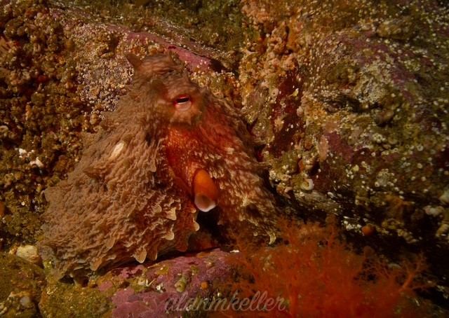
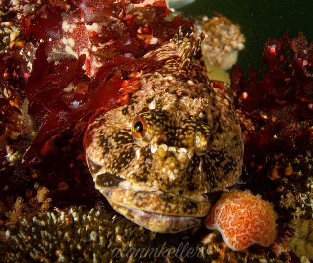
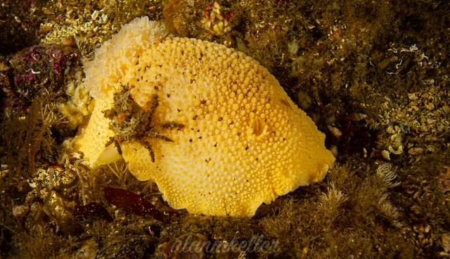
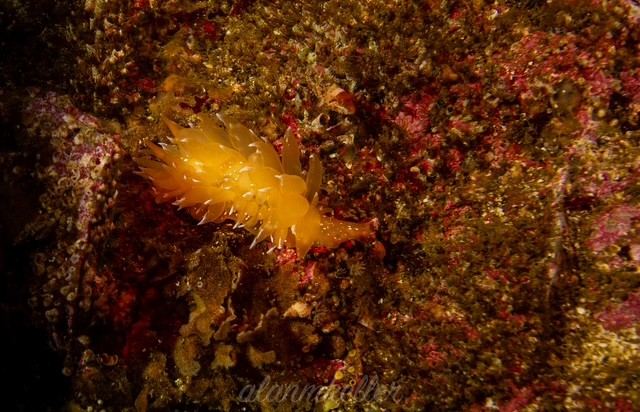
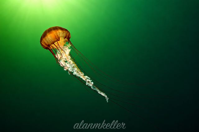
Topside. Humpbacks, grey whales, sea lions and the occasional orca pod move through the sound, so surface intervals earn their keep too.
What I'm planning around:
- Open-coast exposure means surge on the outer wrecks. UASBC's own trip notes say bring Gravol. Noted.
- Plankton blooms cut summer viz; the Pacific coast often dives clearest in winter, when storms also cancel more days.
- A lot of these wrecks are broken up in shallow, exposed water, so they reward calm days and a loose schedule more than depth. Most of it is well suited to open circuit, which is how I'm planning to dive it. The deeper Vanlene debris field, past 30 m, is the one spot where bringing the rebreather would buy real bottom time — worth considering.
The place
Even on blown-out days, Bamfield is worth being in. The village and the coast around it are a big part of why I want to go.
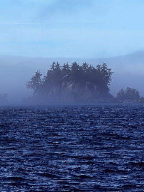
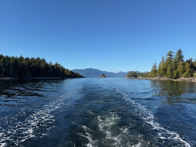
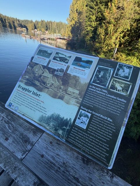
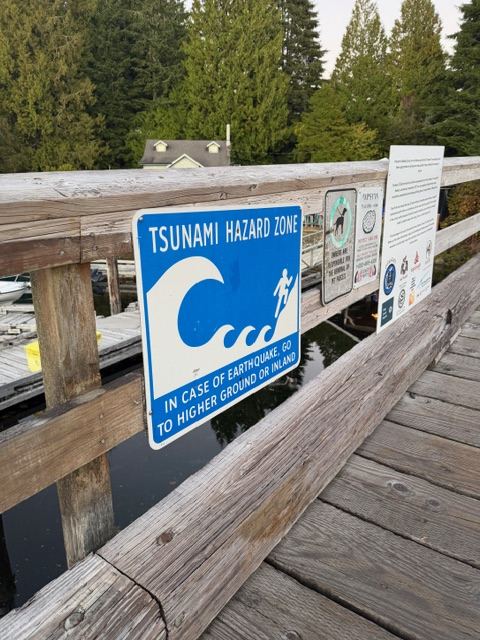
- Two halves, one inlet. The road ends in East Bamfield. West Bamfield is a boardwalk community with no road access, reached by water taxi — about as "end of the world" as I can get on the island with a truck.
- Bamfield Marine Sciences Centre. A major marine station run by a cooperative of five western Canadian universities. I want to check for public tours or talks while I'm there.
- Huu-ay-aht territory. I'll be a guest on Huu-ay-aht First Nations land. Their Kiix̣in Tours visit Kiix̣in, a historic village site near Anacla, and that's on my list.
- Beaches and trails. Brady's Beach, the trail to Keeha Beach, and Pachena Bay — the north trailhead of the West Coast Trail in Pacific Rim National Park Reserve.
- Broken Group Islands. Over 100 islands about 12 km west, with whales, sea lions and otters.
- The boat option. The MV Frances Barkley has historically run down Alberni Inlet between Port Alberni and Bamfield. If it's still sailing, it could be a good scenic day trip.
Logistics
There are two diving operations working Barkley Sound out of the Bamfield area, and both can handle fills — so getting on the water isn't the problem. It's lodging and timing I need to sort out.
| Need | Options | Notes |
|---|---|---|
| Dive charter | Emerald Ocean Charters / Bamfield Bound Lodge | Listed on the Bamfield Chamber map; UASBC runs its wreck trips with them |
| Lodge-based diving | Rendezvous Dive Adventures, Rainy Bay | Barkley Sound's pioneering dive lodge since 1973 — still operating |
| Lodging | Bamfield Lodge, McKay Bay Lodge, Mills Landing cottages, Pacific Gateway Wilderness Lodge | Small inventory; book early for summer |
| Fuel | Port Alberni before the road; Bamfield has automotive fuel | Not counting on Bamfield pricing or hours |
Timing: summer means calmer seas and open lodges, but a busier road and green water. Late fall to early spring trades weather risk for better viz and an empty village.
Trade-offs and bottom line
I'm going. Minimum three to four dive days, so the weather can't wreck the whole trip.
| For | Against |
|---|---|
| Wrecks plus walls from one small base | Open-coast surge and weather cancellations |
| Road is chip sealed now, no more gravel washboard | Still a 60 km/h logging road with trucks and loose chip |
| Remote, uncrowded, genuinely different from Port Hardy | Limited lodging and services, likely no local fills |
| Barkley Sound biota I haven't logged yet | Two-day drive each way plus a ferry |
I've done the north island. Bamfield is the west coast piece, and the wreck list is deep enough that I'll probably be going back.
Behind the trip
Sources
- Huu-ay-aht First Nations — Bamfield Main Road Project
- Ha-Shilth-Sa — reporting on Bamfield Main road conditions
- Underwater Archaeological Society of BC (UASBC) — Barkley Sound wreck projects
- Scuba Diving magazine — Barkley Sound dive descriptions
- britishcolumbia.com — Barkley Sound shipwrecks and the Broken Group Islands
- Bamfield Marine Sciences Centre
- Kiix̣in Tours (kiixin.ca)
- Bamfield Chamber of Commerce — visitor and charter map